Credit: STAFF
Credit: STAFF
Icing conditions and strong winds can create situations “that bring down branches and those branches can fall on power lines,” leading to outages and “potential hazards,” said Mary Ann Kabel, DP&L director of corporate communications.
DP&L is fully staffed this week and as the weekend approaches is “making those accommodations as needed to bring in…people to take the calls to dispatch crew if we experience outages and of course our field crews,” she said.
DP&L and Duke Energy both had fewer than five reported power outages Tuesday afternoon. But earlier, the snow prompted Wright-Patterson – Ohio’s largest single-site employer – to announce closures to all but mission-essential personnel, the 88th Air Base Wing said in a social media post.
All COVID-19 vaccine second-dose appointments at the base were cancelled and patients may come Wednesday between 8 a.m. and 3 p.m., the 88th Medical Group said.
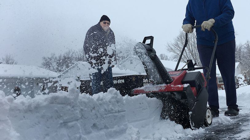
The overnight snow ranged from 1 inch in Logan County to 10 inches near Cincinnati, including 9 inches near Waynesville, according to the National Weather Service in Wilmington.
Credit: Jim Noelker
Credit: Jim Noelker
Schools in Greene, Miami, Montgomery, Preble and Warren counties were closed with some holding remote learning days.
While the heaviest of this week’s snowfall appears to have already hit the Dayton area, its southern areas are more likely to get increased accumulation and drizzling precipitation, according to the weather service.
“The biggest thing is going to be the cold temperatures,” Meteorologist Jim Todd said. “You’re going to get some snow…But it is going to be fairly cold.”
Temperatures will dip as the week progresses, and “it looks like another shot of some cold air coming in this weekend.”
AAA is preparing to “see an increase in vehicles with tire, battery and other issues caused by dangerously cold weather,” according to Kara Hitchens, an agency spokeswoman.
The automobile club was called by more than 29,000 stranded drivers last year and urges motorists to take precautions, including making sure batteries and tires are operating properly.
Area roads Tuesday morning saw more than 250 Ohio Department of Transportation crews working to clear interstates and other high-volume routes between Dayton and Cincinnati, said ODOT Spokeswoman Mandi Dillon.
About 20 crews were working to clear Montgomery County roads with a mixture of brine, beet juice, and other chorides after pretreating them Sunday and Monday, Engineer Paul Gruner said in an email.
“This would have been a lot worse if we had near zero temps overnight like are forecast coming up,” he added.
High temperatures for today are projected to be in the mid-20s with lows 15 to 20 degrees, according to the NWS.
Thursday’s highs will also be in the mid-20s with a low of around 10 degrees, the weather service said.
Highs will continue in the low 20s for Friday and Saturday, with the low temperatures dipping to around 10 and 5 degrees on those days, respectively, according to the forecast.
Sunday’s high is projected to be 10 to 15 degrees with a low of zero to 5 below, according to the NWS.
Staff Writer Thomas Gnau contributed to this report.
About the Author