A thunderstorm warning is in effect for Clark and Champaign counties until 6:15 p.m.
A thunderstorm warning is in effect for Preble, Darke, Montgomery, Champaign and Miami counties until 5:30 p.m.
A severe thunderstorm watch is in effect until 7 p.m. for the following counties: Montgomery, Greene, Darke, Preble, Warren, Butler and Miami.
The entire Wilmington area is now under a severe thunderstorm watch.
A tornado watch has been issued for Preble County until 5 p.m.
Check back for more updates.
EARLIER
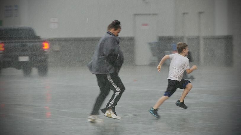
Today will be blustery, with partly cloudy skies to start with, through there will be a chance of showers and thunderstorms starting in the afternoon, according to the National Weather Service in Wilmington.
Showers will be likely by sunset, and will continue through the night.
There will also be a chance of thunderstorms, some of which may be severe between 3 and 10 p.m. During those storms, the main threats would be damaging straight line winds and large hail, but the NWS said a tornado or two can’t be ruled out.
Heavy rainfall is likely with the storms.
The entire Wilmington area is now under a Severe Thunderstorm Watch. pic.twitter.com/JhtEufuqxl
— NWS Wilmington OH (@NWSILN) May 21, 2022
Highs will be around 89 degrees, falling to around 60 degrees overnight.
As this model forecast suggests, thunderstorms developing this afternoon may become severe with damaging straight line winds, and a tornado or two cannot be ruled out. Have a plan in place and take cover if warnings are issued for your location. pic.twitter.com/Vze3t7amKD
— NWS Wilmington OH (@NWSILN) May 21, 2022
Rain will still be likely when the sun rises on Sunday along with a chance of storms, both of which will gradually fall as the day goes on and trail off before dark.
Temperatures will be much cooler, with highs only around 70 degrees.
Overnight, clouds will decrease as temperatures fall to around 50 degrees.
Monday will be partly cloudy and breezy, with highs staying cool at around 70 degrees.
Overnight on Monday, temperatures will fall to around 51 degrees.
Warmer conditions return Tuesday and Wednesday with a possibility of storms mid-week.
About the Author