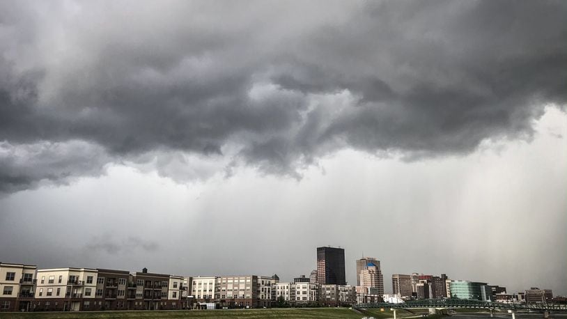
The primary threat for any storms is damaging winds.
The NWS warns that straight line winds can affect large areas and knock over semitrucks, trees and powerlines, and can cause damage to buildings. People should stay indoors and away from windows.
With the potential for severe weather multiple days this week, don’t underestimate the power of severe straight line winds. Take for example, the severe winds from the #August2020Derecho that destroyed the grain bins shown in this picture. pic.twitter.com/ECzFf6UtMO
— NWS Wilmington OH (@NWSILN) August 9, 2021
It will be hotter Wednesday with a high near 91 degrees and more showers and storms expected, the NWS said.
There is a chance of more showers and thunderstorms Wednesday night and into the early morning hours. The overnight low will be around 77 degrees.
The muggy and wet weather continues into Thursday, which will be even hotter with a high temperature near 95 degrees expected, according to the NWS.
The heat index could be as high as 102.
There is a chance of showers and thunderstorm, mainly after 1 p.m. Thursday.
Thursday evening showers are likely mainly before 9 p.m. under partly cloudy skies with an overnight low around 75 degrees.
Rain chances continue through Friday, mainly after noon. The high temperature will be near 91 degrees. Showers are likely with possibly a thunderstorm Friday night with an overnight low around 66 degrees.
Heat Safety Tips
- Stay well hydrated
- Wear light clothing
- Limit direct sunlight
- Check on neighbors and the elderly
- Be sure pets have plenty of fresh water
- Work outdoors early or late in the day.
No question that this upcoming week will be hot and humid, with high temps getting into the 90s, and heat indices pushing 100 degrees on Tuesday / Wednesday / Thursday. We'll have occasional chances for storms this week too. pic.twitter.com/90ZYxTqusb
— NWS Wilmington OH (@NWSILN) August 9, 2021
About the Author